Heat Builds Character
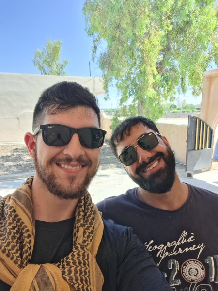
Luke Poutre, 2024 Charles Steinmetz Fellowship Recipient
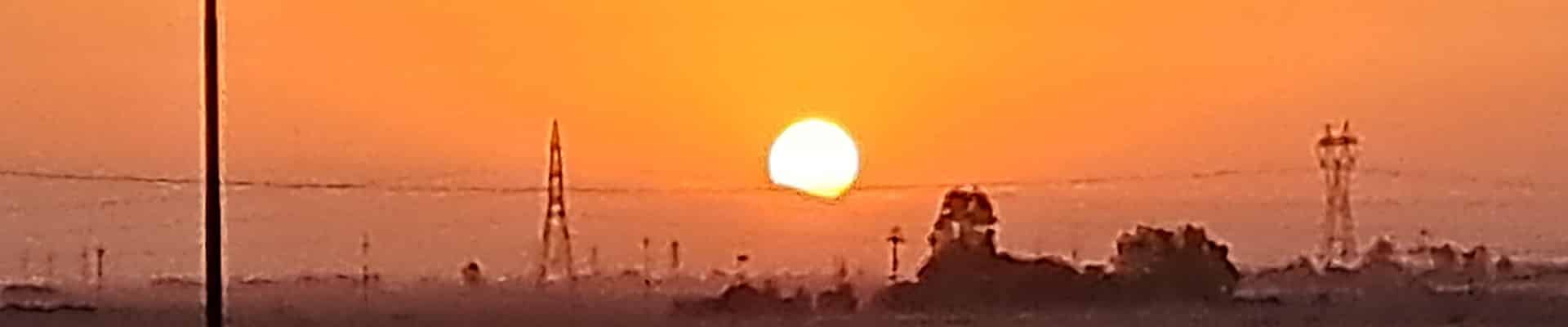
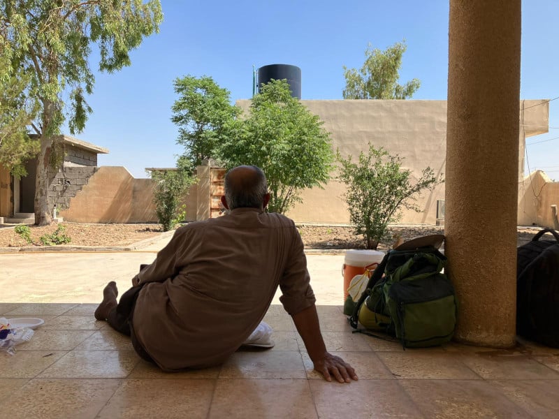
It is 2:45 A.M. and a cascade of phone alarms begins to sound throughout the dig house. Members of the team get up from their floor mats and quickly prepare for the day. For those of us on the Geophysics team, this means that all of our cumbersome equipment must be staged in front of the house to be loaded onto the bus that takes us to the dig site. We find time to eat a handful of nuts or a banana before loading begins, and by 3:45 the bus is en route to Kurd Qaburstan. It is still dark as we drive to the site, and we see the fires from oil refineries lighting up the horizon as we drive along the highway to the village of Yedi Kizlar, the modern village where our project is located. Before we leave the outskirts of the city of Erbil, the bus stops at a bakery where we pick up a bag of Samoon bread, one of the most important components of our on-site meal which we referred to as ‘second breakfast’. After making the half-hour drive from our house in Erbil to Kurd Qaburstan, we finally arrive just before sunrise and meet up with our Kurdish dig team.
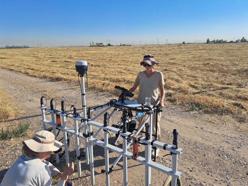
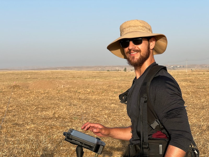
At this point, the excavation team breaks off to their trenches while the members of the geophysics team begin setting up our equipment. This process involved putting together a SENSYS Multi-Channel Carrier Type F pushcart with MAGNETO MXV4 magnetometer system and setting up hectare or half hectare grids using GPS and tape measures throughout the center and periphery of the site. This piece of equipment is comprised of a GRP frame, a mounted EMLID GPS system, nine individual sensors set 0.25m apart, and a processing unit. The pushcart is used to take magnetometry readings of an area so as to gain an understanding of the potential architecture and economic activities of that location (i.e. ceramic or baked brick kilns). Once the equipment is set up, one of the members of the team straps on the battery-pack and begins collecting data. This is done by pushing the cart in straight lines back-and-forth within the pre-marked hectare, guided by other members of the team holding flags at each end of the grid. The terrain, however, made this process a bit more difficult. The site itself is located on a modern farm, with the main tell falling within the barley fields and one of our chief focuses of excavation being within the tomato patch. As such, the soil was rife with plow-furrows which were baked solid by the 116 °F heat, resulting in a tremendous effort not only to push the cart, but also to keep it straight. The resulting data consists of magnetometer readings that we process to compile into a two-dimensional map or magnetogram that can be viewed and interpreted by the entire team.
Luke Poutre is a current student working towards his Masters degree in Near Eastern Archaeology at La Sierra University. Prior to his entrance into the field, Luke served in the U.S. Army before working in civil litigation and tort law. He hopes to continue his involvement with projects in the Near East, and eventually pursue a doctoral degree in archaeology.
ASOR is now accepting applications for 2025 Fieldwork Participation Scholarships. Learn how to apply here.
Want to help more students and early career archaeologists get into the field? Donate to the cause today by selecting “Fieldwork Scholarships” as your gift purpose!