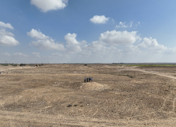
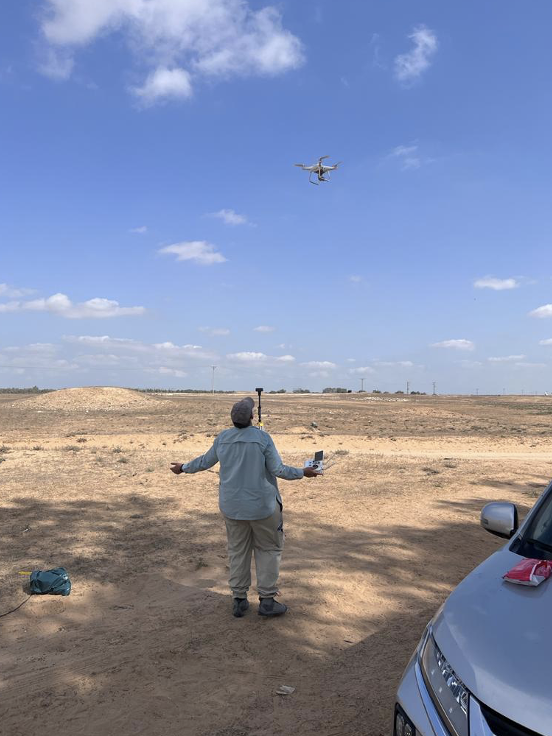
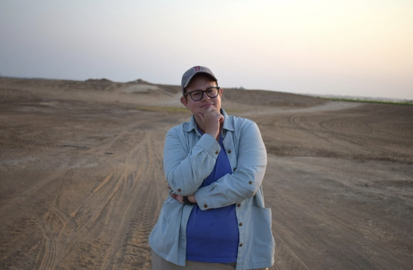
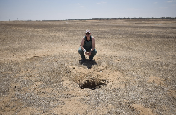
Erin Brantmayer, 2022 Stevan B. Dana Scholarship Recipient
The summer of 2022 saw my fifth year of archaeological work in Israel. A typical summer abroad for me is four to six weeks of very physical work excavating under the hot Levantine sun, but things were a bit different this time. At the Roman and Byzantine site of Birsama, an unexcavated fort and associated settlement area nestled into the region where the Mediterranean coastal plain meets the arid Negev Desert, I and four other sure-footed archaeologists spent two weeks walking around. Our walks, or transects, were along parallel lines about 700 meters long, north to south, covering an area about 250 meters wide east to west. Along these transects, we recorded pottery strewn on the ground’s surface and collected diagnostic sherds – broken pieces of handles, rims, and bases.
These activities were the meat of our preliminary survey. Surveys conducted before excavation are usually done to help archaeologists get a sense of the area they will be digging and to target areas of high interest. For us, high interest in this case meant the area of the fort and the space adjacent to the fort where people would have lived. Additionally, we located some areas with exposed and disturbed architectural elements, including some wall foundations churned up by agricultural vehicles associated with the nearby peanut farm and a few column fragments.
Here I am thinking big thoughts in the field – the low rise in the distance behind me is the likely location of Birsama’s quadriburgium fort. Photo taken by Michelle Heeman.
But fieldwalking wasn’t our only survey component – we also did extensive aerial mapping. My archaeological work applies GIS (geographic information science) and drone- and camera-based photography to ancient sites to better understand the spatial relationships that are often harder to see on the ground. This work is incredibly useful for surveying because it is sometimes easier to see features, like buildings, from the air.
Me with a probably ancient cistern discovered via drone! My current research deals with water resources in the Negev, so this is a big win. Photo taken by Evan McDuff.
Using a drone equipped with an RTK module, I took over 2,500 pictures to create an orthomosaic of the nearly one square kilometer that comprises our study area. This is awesome because an RTK (real-time kinematic) DGPS is a type of global positioning system that is accurate at the sub-centimeter level – for reference, your phone is only accurate within five meters! So, a drone with RTK is about 1,000 times more accurate than your average GPS app. That accuracy is built into the orthomosaiced images – multiple overlapping photos that are stitched together to create one larger, continuous image. The result is pinpoint accuracy and incredible detail in a single map, from which features and points of interest can be marked and examined.
The survey crew victorious after crisscrossing the area for two weeks. Left to right: Evan McDuff, Erin Brantmayer, Matthew Previto, Alexandra Ratzlaff, and Michelle Heeman. Photo taken by me with a drone!
Our two weeks in the desert were not without their difficulties – survey can be a hard learning curve when you’re used to digging a square. Finding a program to track our fieldwalking was initially difficult, but I did eventually find an app that could track movements, worked on both Androids and iPhones, didn’t need an internet connection, and was free. I also struggled with learning a new system. That awesome RTK drone was one I’ve never used before. I spent eleven of our twelve days at Birsama trying to figure out how to get the system to work, battling through RTK connection errors, malfunctions, thousands of photos not writing to an SD card, and getting the car stuck at 8 PM in the desert four hours before driving to the airport. Everything was eventually unstuck, literally and metaphorically. Just took some perseverance and a crack team of five sure-footed archaeologists.
Am I celebrating finally getting the RTK drone to work or am I enjoying the breeze coming off its propellers? Photo by Alexandra Ratzlaff.
Erin Brantmayer is currently a doctoral student at the University of Texas at Austin’s Department of Classics. Her research has two foci: exploring how past societies have understood and made use of their natural landscapes and applying digital tools and techniques to archaeological fieldwork. When Erin isn’t studying the ancient Mediterranean or fieldwalking, she can be found walking her dog, Juno, and cooking.
Want to help more students and early career archaeologists get into the field? Donate to the cause today by selecting “Excavation Scholarships” as your gift purpose!