


SATELLITE ASSESSMENT
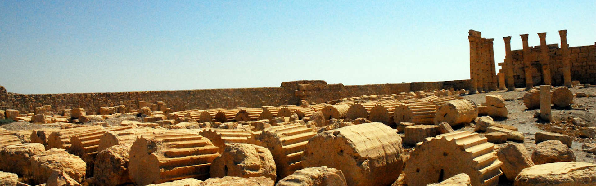
The ASOR CHI Geospatial Team assesses and monitors heritage sites using available high resolution satellite images. Each heritage site is often assessed multiple times using multiple images to build a timeline of visible damage. Satellite imagery is important in corroborating ground-based damage reports as well as identifying damage before it is noted in the media.
